


Introduction to Contours: Contours 3.1:
What are contours, what do they look like and how can we use them to navigate?

Chris Cowdrey
12 min read
This Contour Navigation course on Dartmoor will teach you the skills to confidently navigate using the shape of the ground alone. The shape of the ground is one of the only features on a map that doesn't change much, making it very reliable. Being able to navigate just by using contours on our maps will greatly improve your navigation.
By the end of this course you will have progressed your navigation by being able to recognise large and small contour features, be able to use them to navigate and relocate yourself, and benefit from the knowledge when you venture into more complex terrain and in poor visibility.
Instructor Tip:
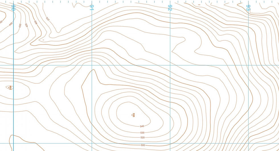
"Measure the size of the contour feature using the millimetre ruler (if it's a small feature) or the correct map scale roamer (if it's a large feature) on your compass. This will give you an idea of the size of the feature to look out for. For example, if you are on a shoulder on a spur, and you can see there are a few shoulder features along the spur, you can measure each one on the map and see which one matches the size of the one you are on."
£70pp*
1 Day
1:6
* Price indicated is for public course dates. For private/bespoke/1:1 bookings, prices start FROM £220 per day, +£30 per person extra. Get in touch to enquire or click the BESPOKE BOOKING button above.
COURSE OUTLINE:
This course is for experienced hill and mountain walkers who want to develop their navigation skills for navigating in poor visibility and remote, complex terrain. You'll gain the skills to be able to identify contour features, changes in the shape of the ground whilst navigating and be able to navigate with these features and to them as checkpoints.
We will use contour only maps, different map scales and a whole load of other resources to help you develop better understanding of contours. As the course progresses, we will start to transfer these new skills back to regular maps and seek out contour features to use in our navigation.
WHO'S IT FOR?
Anyone who is working towards a Mountain Training Mountain Leader or Hill and Moorland Leader assessment
An individual who wants to refresh and refine their navigation.
Experienced hill and mountain walkers who wish to improve their navigation to help them navigate in complex terrain, away from the footpaths, such as the more remote Wainwright Walks, Munros or classic Grade 1 scrambles!
Those who want to be able to locate themselves on a ridge when all you have is contour features, or those in the middle of Dartmoor and want to pin point your exact location
A fit individual who is capable of walking over uneven, often boggy terrain in remote areas, all day for 6 hours / 8+km
DIFFICULTY:
(6/10) CHALLENGING
Moderate walking effort but highly technical navigation skills.
Similar difficulty to: Advanced Navigation
Easier Than: Mountain Navigation
Harder Than: Intermediate Navigation
Not sure what this means? See our Difficulty Guide → HERE
Compare other Hill & Mountain Walking Courses
COURSE CONTENT:
We will cover the following skills on this course:
Recognising the shape of the ground using contours
Understanding how contours work
Identifying large contour features
Identifying small contour features
Using contour only maps
Navigating only by using contours on our maps
WHAT TO EXPECT:
A full day in the hills with hands on navigation practice
Navigate using contour only maps
Progressive learning in navigation techniques
Safe, friendly atmosphere with others passionate in the outdoors
A focus on your safety
Opportunities to practice hands on navigation under the watchful eye of an experienced instructor
Low ratio group numbers to focus on your personalised instruction


Check out my blog post below on contours for some prior learning before attending the course and see if it is right for you!

WHAT'S NEXT?
DEVELOP:
PROGRESS:
Please refer to my FAQ page for more general information and visit my DOWNLOADS page for kit lists and booking forms.
