
Relocation: Navigation Strategies: Part 4.2
- Chris Cowdrey

- Nov 8, 2020
- 12 min read
Updated: Dec 30, 2025
If you like what you read please support me by making a small donation if you can :)
Join the Community!
I have created a community for people reading through, or who have completed, my Online Navigation Course.
It supports those learning navigation theory remotely and looking to deepen understanding through discussion, reflection, and shared experience alongside others on the same journey.
More in this series:
Below is the answer sheet to the questions in the last part:
Welcome to part 2 of my Navigation Strategies series. In this part, we will focus on what to do if we get lost.
Even the most experienced navigators will get temporarily misplaced whilst out on a walk. It happens to all of us once in a while but knowing how to get back on track and find your location again is key! Hopefully, you will be able to find yourself quickly if you have paid attention to where you are throughout your walk. By utilising all the previous skills and techniques already learnt, we can reduce the search area on the map. But there may come a time where you truly are lost and still unable to relocate, so what are our options there? This is what we will cover in this part.
Relocation
To understand how to relocate ourselves, we must first understand how and why we get lost. Take a look at a few ways which may get us lost:
Conditions may disorientate you, especially at night or in fog.
You may lose count of paces,
You may forget to start or stop your stopwatch.
Ground conditions slowing you down.
Losing concentration on route.
Faulty or misused equipment.
Map inaccuracy.
Interpreting the ground wrong.
Inaccurate measurements.
This isn’t a full list, but it does highlight what could possibly go wrong for us to be unsure of our position. Let’s go into a bit more detail for each one below:
Conditions:
Darkness and fog can really disorientate us whilst out in the hills and mountains. We generally walk slower in poor conditions and features around us can be obscured or lost. The shape of the ground is usually more difficult to read as we only have the information that is directly around us. During the night navigation on my Mountain Leader assessment, I mistook a large body of water for the edge of a cliff! This really threw me as where I thought I was on the map, there were no cliffs near me! Being tired and in the darkness and fog really disoriented me. It is also possible to 'drift' on a bearing in poor visibility. Without a point to focus on on your bearing, it is all too easy to drift to the left or right and come off your bearing. This is why picking a point on your bearing and walking to it helps keep you track.

Losing count of paces:
Pacing is very antisocial. It’s all to easy to lose track by someone talking to you or to someone else in your group. And counting over long distances can become boring and we lose concentration. It’s all to easy to lose focus and get in a rhythm of counting, counting past your 100m number and continuing: 58,59,60,61,62…..78,79….89,90….. oops! Using pacing beads can help here.
Start/stop/re-starting stopwatch:
You start your stopwatch and set off. Whilst walking you stop for a few seconds to check the map and pause the timer. You restart the timer and continue a bit more, only to stop again to take a picture. You walk for a bit more and stop again to get some water out your rucksack and pause the timer. Off you go again. After a while you take a look at your watch and realise you didn’t restart the timer! How long do you have left to your checkpoint? Has time elapsed already, and you’ve walked past it? It takes a lot of concentration to stop and re-start your watch and this is a common error when using timing.
Ground conditions slowing you down:
You’ve anticipated you will be walking at 4kph. You have planned your route, calculated distance and time. A few minutes later, you have paced your measured distance and your timer is going off but you are no where near your checkpoint and/or it is not in sight. Ground conditions may hinder your progress and make your timing and pacing inaccurate. Knowing how fast you move over different terrain comes with time and experience.
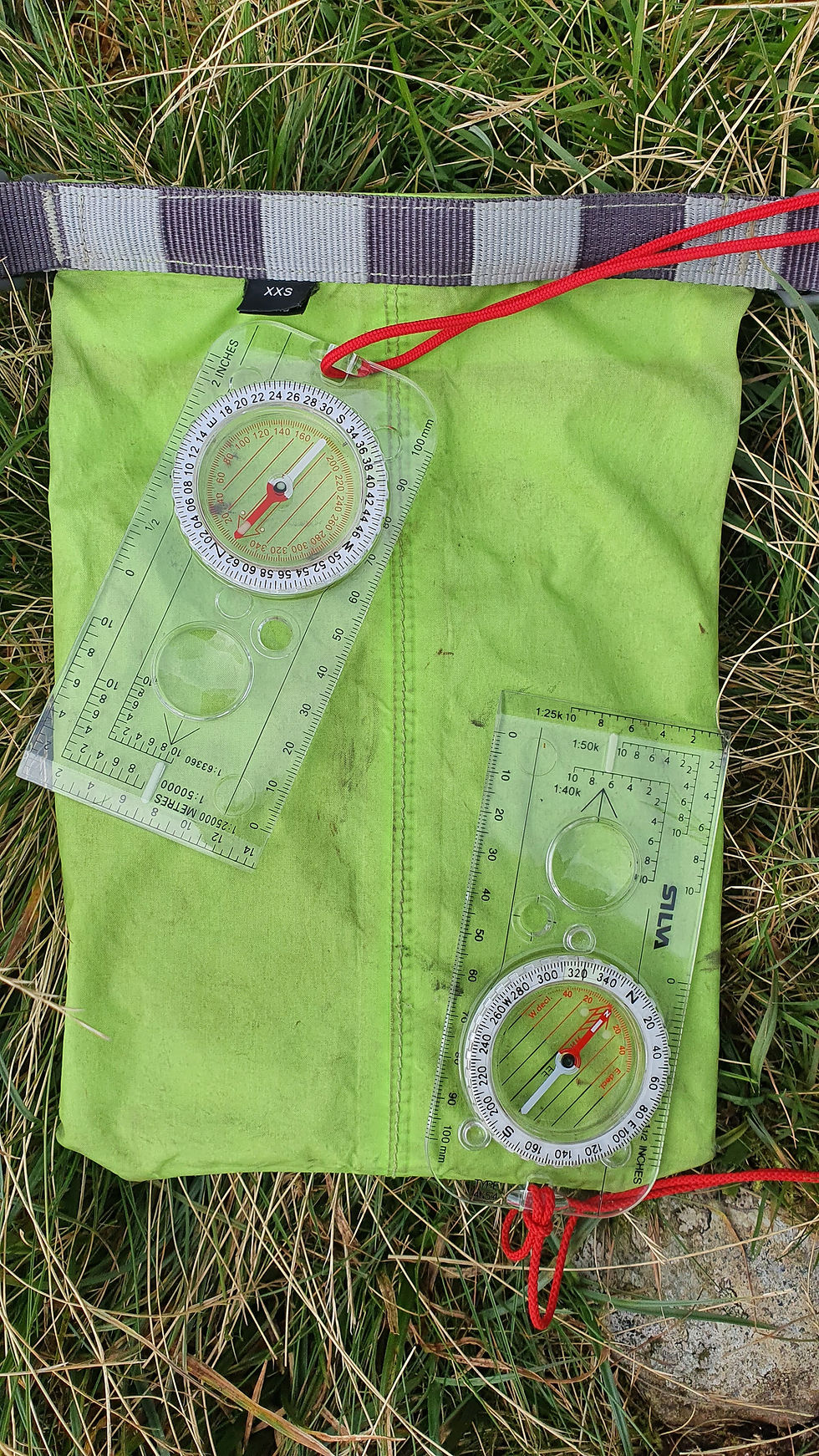
Faulty or misused equipment/Map inaccuracies:
Are you sure your compass points north? How old is your map? Have you taken the bearing correctly? On a recent navigation course of mine, a participant’s compass had de-polarised, meaning it pointed south instead of north! In poor visibility, and our reliance on a compass, this could set us off in the complete wrong direction! This is where observing the ground around us and planning our route is important to stop us before travelling too far in the wrong direction. Old maps can be inaccurate, meaning features have disappeared or been added, for example, a forest you are looking for could have been cut down.
Interpreting the ground wrong:
It is all to easy to make the map fit the ground you are on! Not naming names but they may or may not be the author of this article…On a recent trip to the Lake District, said person (it was me ok!) thought they were on the summit of Loft Crag when in fact they were on the summit of Pike of Stickle! A lapse in concentration whilst chatting, confusing the names of the summits and miscommunication with my walking partner, we walked to the summit of Pike of Stickle, but there I am, thinking we had walked to Loft Crag. It was very foggy, and I hadn’t been paying attention! When navigating off the summit, I made the ground fit to what I was looking at on the map. But, I was able to realise my error very early on and relocate! Interpreting the ground wrong is very common. Are you sure you’re not in a hollow which may impair your judgement on the slope type or aspect?
Inaccurate measurements:
Measuring distance, working out timings and/or taking a bearing. You have roughly worked out the distance to be 800m, when in fact it is closer to 950m as you haven’t measured accurately. This will not only affect your pacing but your timing as well. And your bearing is 6 degrees different to your partners. Over a distance of 950m, this could put you nearly 100m off your feature!
Getting lost usually involves one or more of the above elements, plus a lack in concentration. Maintaining contact with the map as often as possible reduces the chance of getting lost and limits your search area if you know your last known location. But what do we do if we do get ‘geographically misplaced’?
STOP!
If you are unsure of your location and find yourself ‘lost’ you should STOP:
S – Stop
T – Think
O – Observe
P – Plan
Stop:
Literally, stop walking. Do not go any further. Set your map using a compass. Blindly walking on can make the problem worse and make relocation more difficult. However, you may need to ‘move to prove’ or ‘travel to unravel’ to gain some information, but this comes later.
Think:
It’s time to become a detective. Think about your last known location. How much time has elapsed since you left that known location? This will reduce the search radius by knowing how fast you have been walking. Think about what you saw on the way in terms of features. Think about what direction you have been travelling in. Just by thinking alone, you may gather enough information to work out where you are.
Observe:
With your map set, what can you see around you? Gather information about the surrounding area:
What does the shape of the ground look like around you?
What is the aspect of the slope, type of slope and angle (is it steep?)?
Are you walking along a linear feature? Can you take a bearing off a feature and relate it to the linear feature?
If not on a linear feature, are there any other recognisable features you can take a bearing off and relate back to the map?
What will you see if you walk further? It may be necessary to move from your location a short distance to be able to gather more information. For example, You may be on the crest of a hill or in a hollow. By going to the top, you may be able to see more. But only travel a short distance and ensure you can find your way back to your start point.
Try to gather at least five features around you that you can see on the map.

Plan:
What is your plan of action? Having gathered all the information you can, it is time to plan what you are going to do.
Have you been able to find your position? If so, great! Re-plan your route and continue from there but continue to check that the information matches the map. If it doesn’t, STOP and relocate again.
Still unsure of your exact position but can see a recognisable feature close by? It may be easier to relocate from that feature. Head to that feature and try to relocate again.
Is it possible to re-trace your steps and head back to your last know position? Use a back bearing to head back along the route you have followed. You can re-plan your route from the last known location.
What techniques can you use to gather more information? Techniques such as aspect of slope, a back bearing on your last known location and doing a resection can give you more information (more on resections later)
What if you cannot relocate? As mentioned, can you walk to an obvious feature you can see and identify on the map? It may be possible to continue walking to your catching feature and relocate from there. You can ‘Map’ and ‘search’ the surrounding area (more on this later) to gather more information. And finally, it is possible to use a GPS or mobile locating App such as OS Maps, OS Locate or Viewranger to give you an accurate position which you can relate back to the map and plan your route again from there.
N.B. Try to relocate yourself WITHOUT relying on technology first. Use technology as an absolute last resort or in an emergency. These skills will prove vital if your technology fails on you!
The Process of Relocation
If you become lost or unsure of your location, use the acronym S.T.O.P. We can now go through a checklist for the THINK. OBSERVE and PLAN steps. This is a variation to the 5 What’s:
WHAT did you see on the way:
WHAT can you see around you?
WHAT can you see if you walk further?
WHAT other techniques can you use to gather more information?
WHAT if you cannot relocate?
Take a look at the image from the Mountain Training publication NAVIGATION IN THE MOUNTAINS – Carlo Forte:

Other Techniques to gather information
In poor visibility, to gather more information and get a better visualisation of the ground around you, it is sometimes best to move from your position to get a feel for the ground. Being able to interpret the contours and the shape of the ground around you is beneficial in featureless terrain such as open moorland. We can do this by ‘mapping’ the ground:
Mapping:
In poor visibility, you will get a better feel of the ground by moving across it in an organised manner. To do this, we walk along a bearing for a set distance and walk along a set measured distance 90 degrees to the bearing, then returning to our start point. See the example below:

Whilst walking on our bearings, we take note of what the ground and terrain is doing under our feet. We take note of the slope aspect, shape of the ground and any features we may pass along the way. By doing this, we can start to visualise the shape of the ground and transfer this information back to the map to help relocate ourselves.
Resections:
A resection can be fairly time consuming and involves drawing on the map, but it is a useful technique to learn to help you relocate in featureless terrain. However, it does rely upon you being able to see several features on the ground that you can see on the map. The greater the angle between each feature, the more accurate your resection will be. It may not give you a pinpoint position, but it will at least give you the area in which you are located. With this information, you can use other techniques to dial in your position.
To do a resection, you will need to identify at least two, preferably three, features on the ground that you can also see on the map. Take a bearing off each of the features and convert them to a grid bearing on the map. By drawing lines on the map of each bearing, the bearings will converge to form a triangle. You are somewhere within this triangle. Use other techniques to pinpoint your position on the map.

If on a linear feature, you may only need to take on bearing to get an idea of where you are on this linear feature. Take a bearing off a feature in the distance and transfer this bearing to the map. Where the edge of the compass base plate intersects the linear feature, this is where you are. It is possible to use this technique in conjunction with a calibrated altimetre too. Take a look at your altitude, find the corresponding contour line on you map in the area you think you are in and transfer the bearing of the feature to the map. Where the compass base plate intersects your contour line, this is roughly where you are. I say roughly as it depends on the accuracy of your altimetre.

Searches:
In poor visibility, it may be difficult to find small spot features. Especially in open terrain. You may have paced and timed the distance, walked accurately on your bearing and know roughly where you are. However, you still haven’t arrived at your feature. Is it to your left or to your right? Have you stopped short of it or have you already walked past it? The two main searches we can use are:
Spiral Search
Sweep Search
Spiral Search
A spiral search sends you walking in an organised, ever expanding square around your position. You first determine the level of visibility, for this example we will say it’s 50m. You then walk on a bearing for a distance of the visibility, 50m. You then walk on another bearing 90 degrees left or right of your original bearing but this time add 50m to your distance (100m). You repeat this process, adding 50m (limit of visibility) each turn, ensuring you turn the same way every time (left or right). See the image example below:

Stop the search when you either come across your feature or you have determined that you have overshot it.
Sweep Search
A sweep search is done with a group. The members of the group spread out in an extended line and all walk on the same bearing. Spacing depends on limit of visibility and the terrain. It is essential all members of the group can see another member either side of them. The group walk on the bearing, at equal or similar speed. Good communication is important here and the person in charge of the sweep is positioned in the middle. Any communication gets passed down the line. If the line breaks up, the person in charge must stop the search and reorganise the group. Stop the search and bring the group back together if the feature has been found or it is determined that you have overshot it. If the latter is the case, Turn the group around and head back to your start point using a back bearing and start your relocation process again.
This brings us to a close to this part. Getting lost happens. Prevention is better than a cure by keeping contact with the map as often as possible and knowing your last known position. Keeping track of how much time has elapsed since leaving your last know position and in what direction you are travelling in helps to reduce the search area when relocating. But knowing and practicing these techniques ensures you have tools in your navigational arsenal to help you find your way again.
Practice relocating in a familiar area to begin with, and ideally with a partner. Take it in terns to navigate to a feature, the navigator picks a feature but doesn’t tell their partner where they are going. The partner has to then relocate themselves. This is known as ‘follow the leader’ and is a great way to practice these techniques.
Below is the question sheet to this article.
Question Sheet:
The map you require is attached in the document. You will need to print this out but ENSURE you print it ACTUAL SIZE and not FIT/FILL TO PAGE. Take a look at and check your printer settings before printing and then check the measurements with a ruler. A grid square should be 4cm x 4cm.
If you have been following these series, I hope you have found it useful and informative and inspired you to learn more!
If you like what you've read please support me by making a small donation if you can :)
To put these skills into practice and to learn more, take a look at my Navigation Courses I offer.
All confirmed bookings will receive a 10% discount code to use on Harvey Maps products from their site.
Next up:
The next article in this series will be Part 3: Planning a route
See you At The Edge!


Comments